Imagine trying to draw the solar system on a single sheet of paper. If you drew Earth the size of a pea, Neptune would need to be over 30 meters away and the Sun would be a basketball in the middle. That mismatch between real distances and what fits on paper is exactly why astronomers and educators use a scale factor in astronomy for comparing planetary distances. It’s not about making things “look cool” it’s a practical tool to turn impossible numbers into something you can see, measure, or compare.
What does “scale factor” mean here?
A scale factor in astronomy for comparing planetary distances is simply a number you multiply or divide by to shrink (or expand) real orbital distances so they fit a chosen model like a classroom poster, a walking trail map, or a 3D planetarium display. For example, if 1 astronomical unit (AU) the average Earth–Sun distance is represented as 10 centimeters in your model, then your scale factor is 10 cm per 149.6 million km. That ratio stays consistent across all planets: Mars at 1.52 AU becomes 15.2 cm from the Sun; Jupiter at 5.2 AU becomes 52 cm.
When do people actually use this?
You’ll use it most often when building physical or visual models school science fairs, museum exhibits, or outdoor solar system walks. It also helps students grasp relative spacing: without scaling, the inner planets look bunched up and the outer ones vanish off the page. Astronomers don’t use scale factors for research calculations (they work directly with AU or kilometers), but educators, exhibit designers, and amateur science communicators rely on them daily to make planetary distances meaningful.
How do you calculate it step by step?
Start with two known values: the real distance (e.g., Earth to Saturn = 9.5 AU ≈ 1.4 billion km) and your chosen model distance (e.g., 1.9 meters on a poster). Divide the model distance by the real one: 1.9 m ÷ 1.4 × 10⁹ m ≈ 1.36 × 10⁻⁹. That’s your linear scale factor. Then apply it to every other planet’s distance. Keep units consistent convert everything to meters or kilometers before dividing.
What’s a common mistake and how to avoid it?
People often mix up distance scaling with size scaling. A scale factor for distances doesn’t tell you how big to draw the planets it only tells you where to place them. If you use the same factor for both, Jupiter ends up smaller than a grain of sand. To show planet sizes realistically, you’d need a completely different (much larger) scale factor. For clarity, many educators separate the two: one scale for orbits, another for diameters like in our real-world application problems walkthrough.
Can you reuse scale factor methods from other fields?
Yes the math is identical. Architects use scale factors to shrink floor plans; engineers use them to downsize prototypes for wind tunnel testing. The core idea applying a consistent ratio to all measurements is the same. You’ll find similar reasoning in floor plan scaling and industrial prototyping. Just remember: astronomy deals with vastly larger ratios, so rounding errors matter more. Always keep at least three significant figures.
What should you do next?
Pick one real planetary distance (e.g., Earth to Mars at 0.52 AU) and a model space (e.g., a 2-meter hallway). Calculate your own scale factor. Then map out where each planet falls not just the inner ones, but try Pluto too. Notice how much empty space appears beyond Neptune. That’s not a flaw in the model it’s how the solar system actually works. Once you’ve done that, test your setup with a peer: ask them to guess which planet is where, based only on spacing. If they’re surprised by the gaps, you’ve used the scale factor well.
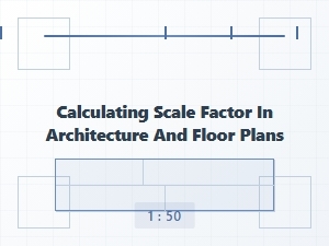 Practical Problems of Scale Factor in Architectural Drawings
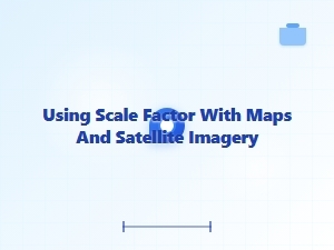 Calculating Real Distances From Maps and Satellite Images
 Applying Scale Factor in Engineering and Manufacturing Problems
 Identifying the Scale Factor Worksheet
 Mastering Scale Factor Identification Worksheet Answers
 Mastering the Scale Factor with Geometry Practice Sheets